Our projects
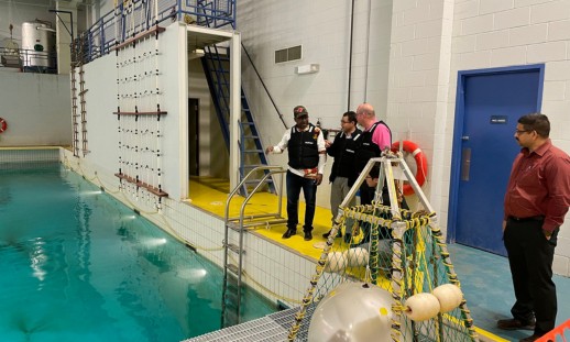
Advancing marine hydro turbine technology
Refining and testing a hydro turbine prototype to improve efficiency and performance in shallow, turbulent waters while minimizing environmental impact.
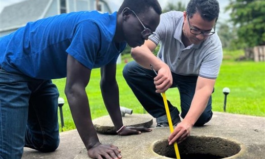
Community preparedness for well-water management amid climate change
Developing an integrated water-monitoring system to help Nova Scotians manage well-water risks amid climate change through improved water literacy and risk assessment.
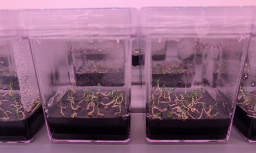
Creating a better Christmas tree: Balsam fir tissue culture
Optimizing tissue culture and somatic embryogenesis techniques to mass-produce Balsam Fir trees with traits like high needle retention, better aesthetics and resilience to climate challenges.

Improving balsam fir needle retention post-harvest
Helping the Christmas tree industry improve post-harvest needle retention in balsam fir trees.
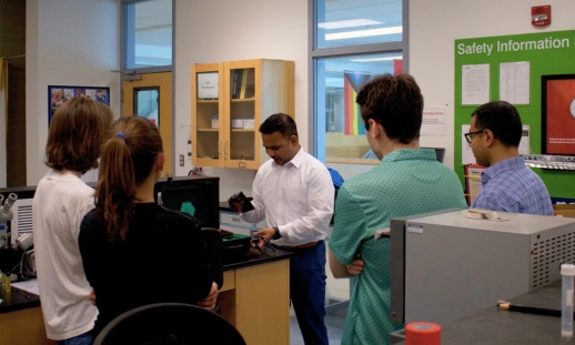
Addressing blue-green algae in freshwater ecosystems
Testing and validating sensor technology to monitor and address blue-green algae in real time throughout Nova Scotia’s freshwater ecosystems.
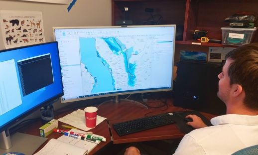
Predicting future coastal flooding events in Atlantic Canada
Helping coastal communities better prepare for the impacts of rising sea levels and severe storms with detailed flood prediction maps.
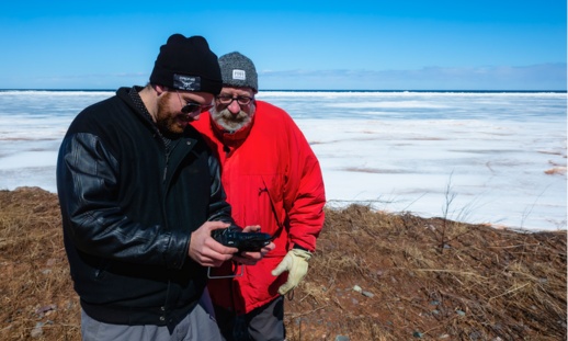
Studying sea ice on the Northumberland Strait
Applied Energy Research is working with Atlantic Energy Storage to repurpose electric vehicle batteries into battery storage systems.
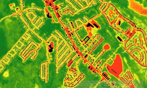
Greenery cover in NS for climate resilience
AGRG's geomatics researchers are using their mapping expertise to help Nova Scotia combat urban heating with greenery planning.

