Studying sea ice on the Northumberland Strait
Summary
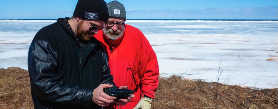
This project aims to collect data for SEATAC, NSCC's ocean-tech related research and development centre, to explore monitoring sea ice using imagery from Remotely Piloted Aircraft Systems (RPAS), commonly known as drones. The study area selected is along the Northumberland Strait near River John, chosen for its accessibility and frequent sea ice presence.
Challenge
Monitoring sea ice is essential for enhancing the safety and efficiency of seafaring vessels, especially during harsh winter conditions. Operating RPAS in Nova Scotia's winter was challenging due to extremely cold temperatures and strong winds, which made data collection difficult. However, the DJI M300, with its self-heating system and greater power, was able to operate effectively in these conditions, enabling the team to gather the necessary data. This work contributes to the development of autonomous ships that can navigate ice fields more safely.
Outcome
Between February and April 2023, four data collection trips were conducted in the study area. Imagery was captured using two drones—a DJI Mavic Pro and a DJI M300 with an L1 sensor. The collected data was processed into 13 orthomosaic images in TIF format, along with screen recordings, field photos, satellite data, RPAS video and meteorological data from local weather stations.
To learn more about this project, read this research story on SEATAC's website
Partners
![]()