Geomatics team
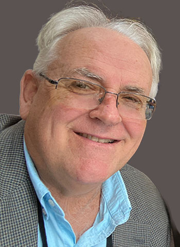
Tim has been a research scientist with NSCC’s Applied Geomatics Research Group (AGRG) since 2000. He holds an MSc from Acadia University and a PhD from Dalhousie University. A recipient of the 2010 Gulf of Maine Council Visionary Award, Tim previously worked in the private sector for a GIS software developer in Ottawa before becoming a faculty member in remote sensing and GIS at NSCC’s Centre of Geographic Sciences (COGS).
As the principal investigator on a Canada Foundation for Innovation award, Tim is leading the acquisition of bathymetric lidar and related equipment. This technology plays a critical role in coastal zone management, river and coastal flood risk assessments, erosion studies and land stability analysis. Alongside his research, Tim supervises courses and students at COGS and co-supervises graduate students in the Acadia–NSCC joint MSc program in Applied Geomatics.
Tim specializes in lidar and high-resolution remote sensing, leveraging GIS techniques to map, monitor and model coastal zone processes, with a focus on flood risk and erosion. His research addresses the increasing threats to coastal communities, particularly those on major river systems where heavy rainfall runoff, rising sea levels and storm surges compound flood risks. He is also exploring the application of mobile mapping technology to enhance data collection and analysis in this field.
For his work protecting Nova Scotia’s communities and infrastructure from climate threats like flooding, coastal erosion and ocean pollution, Tim received the inaugural Public Impact Award from Research Nova Scotia in 2022. This award recognizes researchers whose work has made a tangible impact on the province’s economy, environment, healthcare or society. With Nova Scotia’s vulnerability as a coastal province, Tim’s contributions are key to building climate resilience.

Nathan is a Research Associate who has been with AGRG since 2009. Nathan has an MSc in Applied Geomatics from Acadia University, an advanced diploma in Remote Sensing from NSCC’s Centre of Geographic Sciences (COGS) and a BSc in Biology from Acadia University. He specializes in lidar and multibeam sonar data collection and hydrodynamic modelling to support ecosystem and flood-risk management.

Kevin began working at AGRG in 2010 after obtaining an Advanced Diploma in Remote Sensing from COGS. He specializes in aerial lidar data research, low altitude aerial photography and hydrodynamic modelling. He works on projects involving high-resolution 1D-2D hydrodynamic flood modelling for various coastal and inland regions throughout the Maritimes. Kevin has a B.Sc. in Earth Sciences from St Francis Xavier University. His research involves aerial bathymetric lidar feature recognition, waveform visualization and hydrological network mapping automation.
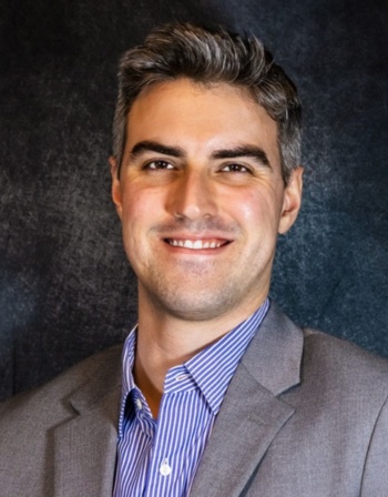
Thomas joined AGRG in 2018 after completing a term project with the group while finishing the Advanced Geomatics Diploma in Remote Sensing from COGS. His work primarily involves fieldwork, operation planning, data collection and processing. With an Advanced Operations Pilot Certificate from Transport Canada, he oversees AGRG’s drone operations, collecting lidar data, thermal imagery and multispectral imagery, and processing it into orthomosaics. His data supports hydrographic modelling, fish habitat mapping, erosion mapping and ecological habitat mapping. Thomas also holds a B.Sc. in Earth Sciences from Dalhousie University.
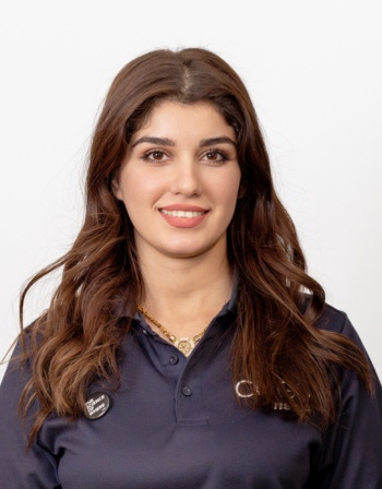
Zhikal is a Research Associate at AGRG with a background in GIS and Civil Engineering. Her work focuses on lidar data processing, remote sensing and geospatial analysis. She specializes in classifying topobathymetric lidar, supporting data collection using GNSS and drones, and assisting with research projects. Zhikal's interests include lidar applications, mapping and environmental research.
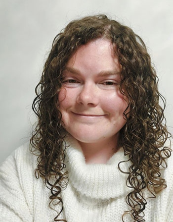
Lauren has been with AGRG since 2021. She has an Advanced Diploma in Oceans Technology from NSCC, an Advanced Diploma in GIS from COGS and a B.Sc. in Biology from Cape Breton University. Lauren is a regular member of AGRG’s field team, conducting echosounder surveys, spotting drone flights and taking GNSS measurements. She is also involved in many lidar classification and river modelling projects.
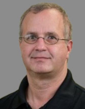
Sean joined AGRG in 2015 and specializes in field data collection using single beam and multibeam echosounders, as well as the installation and recovery of in-situ monitoring equipment. He also produces 3D terrain models using a full-color 3D printer. Sean holds a Bachelor of Science in Earth Science from Dalhousie University, an Advanced Diploma in Oceans Technology and a Diploma in Electronic Engineering Technology, both from NSCC. He contributes to projects involving data collection and monitoring for marine and environmental research initiatives.
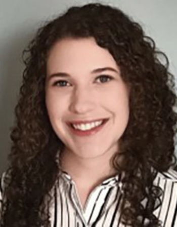
Emma joined AGRG in 2020 and specializes in topo-bathymetric lidar and geospatial analysis. She operates and processes lidar sensors, develops hydrodynamic models and applies GIS techniques to analyze terrestrial and marine environments. Her work also includes hydrographic surveying and data processing using multibeam and single beam echosounders. Emma holds an Advanced Diploma in GIS from the Centre of Geographic Sciences and a Bachelor of Science in Biology from Acadia University. She contributes to projects that use topo-bathymetric lidar to monitor coastal and freshwater systems, supporting research in environmental monitoring and resource management.
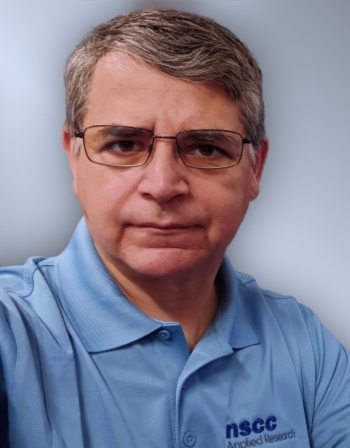
Rene joined AGRG in 2022 after earning an Advanced Diploma in Remote Sensing from NSCC’s Centre of Geographic Sciences. Rene also holds a Bachelor’s degree in Geography and a Master’s in Integrated Watershed Management. With a strong background in environmental research, Rene applies his skills to projects focused on watershed management, conservation, and sustainable resource planning. His interdisciplinary approach combines geospatial analysis and environmental science to support research that informs better environmental decision-making.
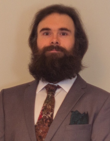
Matt has been a Research Associate at AGRG since 2014 after completing his diploma in IT Programming from NSCC. He specializes in C++, Python, SQL, HTML and JavaScript, with a focus on GIS integration and open-source software. Matt has worked on projects including 3D LiDAR waveform visualization, ocean current tracking using drone footage, automated meshing and texturing of LiDAR data on AWS, and maintaining the Coastal Flood Risk Map.

Mamadou is a Full Stack and GIS Developer with expertise in geospatial analysis, remote sensing and application development. At AGRG, he works on automating geospatial workflows, analyzing satellite imagery and refining wildfire prediction models. He has experience using tools like FireGuardian to simulate wildfire behavior and provide insights for improving model accuracy. With skills in Python, JavaScript/TypeScript, SQL and GIS technologies, Mamadou develops data-driven solutions for environmental research and decision-making.
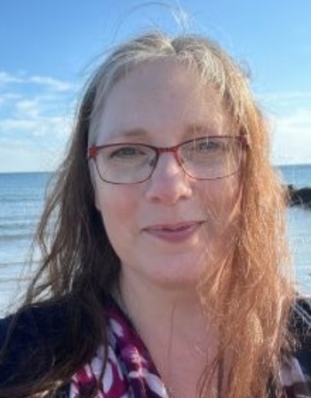
Jocelyn supports Dr. Tim Webster, the AGRG team, interns and COGS students in their research activities. With a background in administration, communications and fund development for non-profit organizations, she brings valuable experience to her role. Passionate about rural innovation and development, Jocelyn is proud to contribute to AGRG's impactful work in geomatics.

Bert has an Advanced Diploma in Cartography and Geovisualization and a Certificate in GIS Technology from NSCC Centre of Geographic Sciences, as well as a BA in Political Science from Concordia University. They specialize in lida data visualization, geoprocessing and GIS programming, leveraging advanced spatial analysis techniques to transform complex geographic data into meaningful insights. Their expertise includes developing custom GIS applications, automating geospatial workflows and integrating lidar data for terrain modeling and mapping solutions.
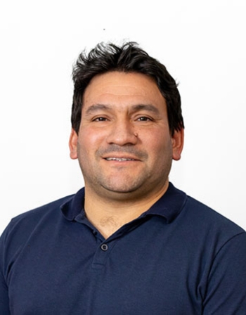
Daniel joined AGRG in August 2024 after earning a BSc in Environmental Engineering and an MSc in Watershed Management. He also holds a Certificate in Remote Sensing from NSCC’s Centre of Geographic Sciences (COGS). Daniel's work focuses on flood modeling in Middle River using the HAND Model Technique and HEC RAS software. He has also contributed to a Mitacs project in the Atlantic Coast Arboretum Catchment Area Ecosystem in Lake Charlotte.
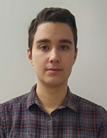
Cale began working at AGRG in 2024 after obtaining a diploma in IT Programming from the Centre of Geographic Sciences. He specializes in software development, building and improving advanced software tools. His most recent project involves building a web application for obtaining and displaying lidar kelp data collected in Atlantic Canada.

