Predicting future coastal flooding events in Atlantic Canada
Summary
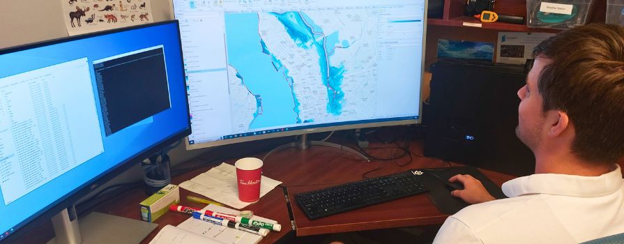
This project represents the first comprehensive effort to develop flood prediction layers that encompass all of Atlantic Canada. With the increasing threat of global sea level rise due to climate change, accurate flood prediction is critical for the region. The project aims to provide precise coastal flood predictions to help Atlantic Canadians better prepare for and mitigate the impacts of future flooding events.
Challenge
Atlantic Canada faces significant risks from rising sea levels and more severe hurricanes over the next century, increasing the likelihood of coastal flooding. The storm surge data used in this project, originally provided by Zhang & Sheng (2013), was based on water level measurements taken at six-hour intervals. However, the short-lived nature of hurricane-induced storm surges meant these intervals might not have captured peak water levels, leading to potential underestimation of storm surge heights for 50-year and 100-year storms in the region. This underestimation posed a challenge for creating accurate flood prediction models.
Outcome
AGRG developed an innovative method to produce more accurate flood prediction products, providing Atlantic Canada with improved data to enhance flood preparedness and response. The findings are expected to guide maritime management decisions across the region, helping to protect citizens, infrastructure, and the coastal economy. The continuation of coastal data acquisition will be essential for refining future flood prediction and coastal management strategies.
Partners