A decade of geomatics research with topo-bathymetric lidar
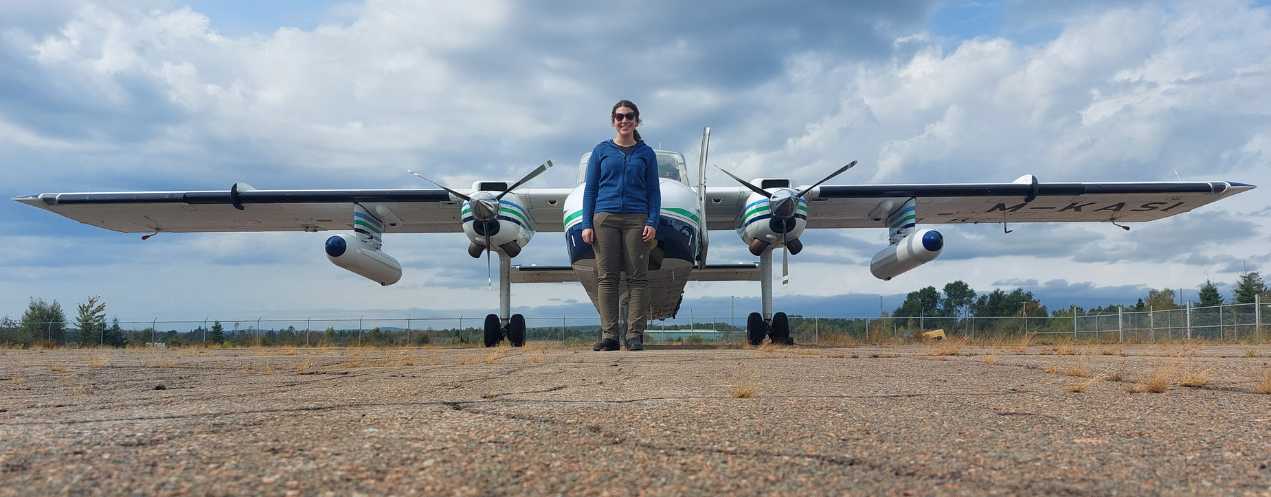
In the world of geomatics and environmental research, few tools have revolutionized coastal and aquatic mapping like the Chiroptera topo-bathymetric lidar, a laser system mounted on a plane that captures precise 3D aerial imagery. Developed by Leica Geosystems, this advanced technology has empowered geomatics researchers at Nova Scotia Community College (NSCC) to delve deep into the complexities of coastal zones and beyond.
From innovation to application: Early adoption and unique capabilities
NSCC was the first institution to adopt the Chiroptera II, marking a pivotal moment for the Applied Geomatics Research Group (AGRG). This early acquisition laid the foundation for a decade of ground-breaking research.
AGRG Research Scientist Dr. Tim Webster explains, "This technology has been a game-changer for us. Its ability to seamlessly map coastal zone elevation and capture detailed imagery in both visible and near-infrared light is unmatched. Traditional methods fall short in these challenging environments, making its topo-bathymetric capabilities indispensable to our work."
A decade of impact
Over the past 10 years, NSCC geomatics researchers have used the Chiroptera system across a wide range of projects with industry, community and government partners. This versatile technology has enabled AGRG to collect critical data on ecological and physical processes, offering valuable insights that have advanced environmental research and management.
Key projects over the last decade using topo-bathymetric lidar:
-
Mapping the coast and estuaries in the Gulf of St. Lawrence: Enhanced bottom-mapping techniques improved the accuracy of coastal ecosystem surveys for the Department of Fisheries and Oceans (DFO) Science Branch. The project differentiated vegetation types like eelgrass and ficus seaweed, increased mapping precision and developed better methods for processing aerial photography. These advancements support more effective management and conservation efforts.
-
Surveying commercially harvested seaweed using topo-bathymetric and photogrammetry: Mapped the biomass of intertidal seaweed using lidar and photogrammetry for Acadian Seaplants, a local company that extracts plant additives from rockweed, to support sustainable harvesting.
-
Classifying shoreline types near oil tanker facilities for spill scenarios: Collected high-resolution land-sea elevation and image data through surveys of coastal areas in Nova Scotia and New Brunswick. By providing detailed bathymetric maps, hydrodynamic models and bottom type classifications, this project supported oil spill preparedness to improve response strategies.
-
Assessing shellfish aquaculture and site selection modelling: Generated detailed maps and models of Pomquet Harbour for the Paqtnkek Mi’kmaw Nation to support oyster aquaculture site selection. The project provided insights into land and seabed topography, water currents and environmental conditions, and included the development of a web-based GIS system to visualize and analyze suitability factors for optimal aquaculture site placement.
-
Improved fish passage and habitat mapping of rivers: Used lidar on rivers to build depth maps with funding from the DFO and NS Salmon Association River restoration groups. AGRG developed methods to profile river depths, identifying fish refuge pools and shallow areas that hinder movement. The team also modelled flow events to assess fish passage impacts and created flood risk maps.
-
Predicting storm surge and flooding from hurricanes: Used flood data to refine models for predicting climate change impacts and rising sea levels. In 2022, the Emergency Management Office used AGRG’s web-based flood viewer to identify and visualize areas along the Northumberland Shore at risk of significant storm surge, flooding and erosion ahead of Hurricane Fiona.
Evolution technology: A look to the future
One of Tim’s favorite projects was mapping rivers for fish habitat. "It was fascinating to see how this technology could enhance our understanding of these ecosystems," he shared. Initially focused on coastal mapping, the Chiroptera lidar has since expanded into river restoration and flood assessments.
"Chiroptera's evolution has been remarkable," Tim said. "What started with coastal charting now supports environmental monitoring, shoreline erosion studies and flood simulations. Its recent application in river studies has opened new doors for hydrodynamic modeling and habitat assessment."
Looking ahead, AGRG continues to pioneer advancements in geomatics, now exploring the Leica Chiroptera-5 Bathymetric & Topographic lidar. “We are actively seeking funding for the CH5,” Tim explains. “With our current equipment aging, the CH5 will provide the enhanced performance and reliability we need to sustain our research.”
Tim envisions future lidar innovations with greater point density and depth penetration. “This constant evolution will ensure we keep pushing boundaries and driving innovation in environmental science.”